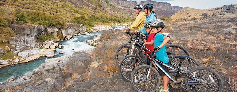
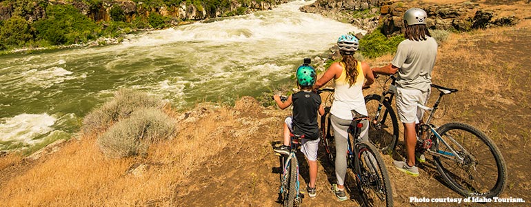
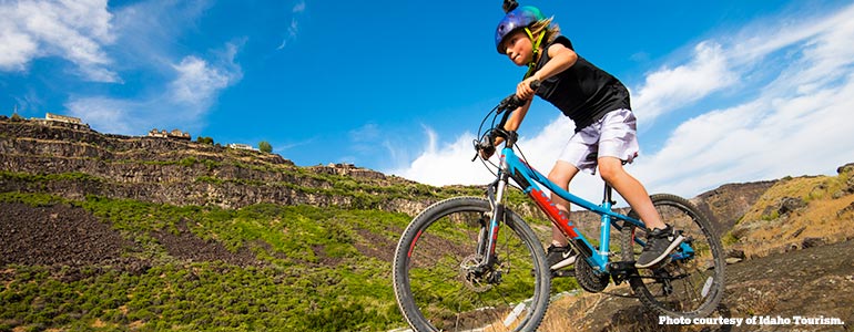
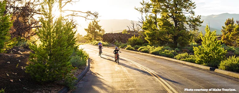
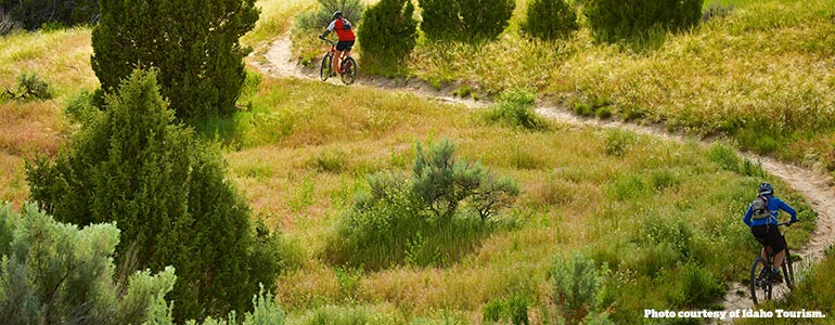
Southern Idaho’s biking trails offer thrills and scenery without the hassle of crowds. Choose an easy loop or a technical trail — and bring the family, too.
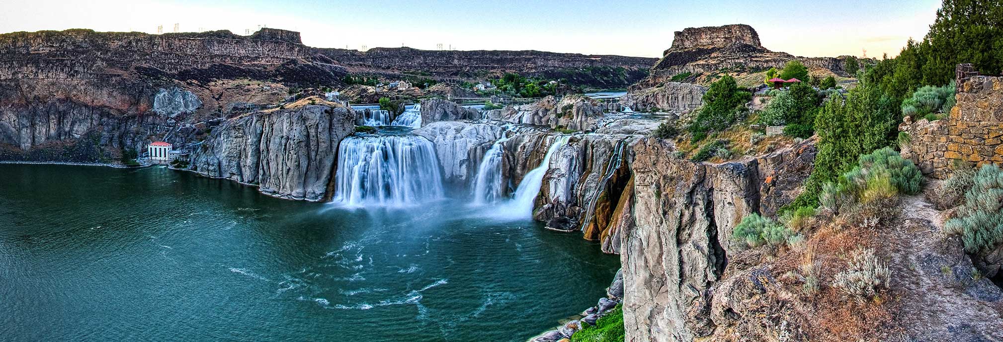
Canyon Rim Trail
In Twin Falls you can bike 8 miles from one end to the other on the Canyon Rim Trail. Park your vehicle at any store along the Canyon Rim, at the Twin Falls Visitor Center, and at other major intersections at the trail like Washington and Poleline and Eastland. The trail is completely paved and a wonderful ride. Expect some hills, especially when approaching Shoshone Falls Park. The hills to get out of Shoshone Falls Park are very steep.

Third Fork-Wahlstrom Hollow Loop
This beautiful spot near Oakley is a nine-mile loop trail and a real climber — the ascent is swift and steep. Enjoy the high-desert landscape, including rock formations that have been carved by the wind and rain into hoodoo formations. There are no fees to enter, but make sure you pack plenty of water, snacks, and proper clothing. Motorcyclists use this trail in the summer, as well. To get there: Drive south from Hansen on Rock Creek Road; the trailhead is 14.2 miles south of the Rock Creek General Store.
Indian Springs Trails
Want a real challenge? This system of 25 miles of trails on Bureau of Land Management land is open to hiking, trail running, horseback riding, and mountain biking. Take Sweet ‘n’ Low Trail over to Lower Dry Gulch, climb Dry Gulch on a gentle uphill with multiple creek crossings until you get to Matt’s Trail. It’s a steep uphill climb on Matt’s to the top of the foothills. You can take Lower Sugarloaf downhill to the trailhead for an 8-mile loop. To get there: Travel directly south of Kimberly for 8 miles on Main Street, cross 2900 East, and park at the BLM trailhead on the left.
Auger Falls Trails
There are more than 10 miles of trails to enjoy in the Auger Falls Trail System, which is managed by the City of Twin Falls Parks and Recreation Department. Be sure to check out the beautiful spring cascading from the cliffs above. The moderate Homestead and Eagle trails take you on a singletrack tour that winds through the rocks to an amazing overlook of Auger Falls. Here, you can check out the series of rapids that makes up the falls. Return on Koda’s Trail and the Haunted Forest Trail for a five-mile roundtrip tour. To get there: Take Canyon Springs Road in Twin Falls into the Snake River Canyon. Follow the road about a mile past the golf course to the trailhead at the end of the road.
City of Rocks
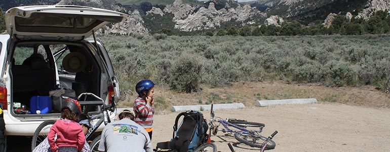
The City of Rocks National Reserve features some of Idaho’s most spectacular and fascinating scenery — and portions of the reserve can only be accessed by bike or by foot. Take the road from the Circle Creek Overlook to Stripe Rock for a ride that won’t be interrupted by vehicles. Or, try riding from Elephant Rock to Nematode, then to the Bread Loaves along the Tea Kettle Trail. To get there: Head to the City of Rocks Visitor Center and pick up your trail guide.
Castle Rocks State Park
Castle Rocks State Park, located near City of Rocks, is home to the great five-mile Castle Rocks Trail. Here, you’ll get to see some of Southern Idaho’s most curious and awe-inspiring geology while climbing 920 feet. Castle Rocks is also home to Idaho’s largest pinyon pine forest. To get there: Castle Rocks and City of Rocks share a visitor’s center where you can learn more about the area’s trails and get ride recommendations.
Craters of the Moon
Bike the scenic loop to see the stunning views of this hardened lava field. There is a cost to get in. Enjoy a Visitor Center with loads of information about the national monument. The loop road is just shy of 10 miles long. There are some hills but the entire road is paved. Watch for traffic in peak seasons.
Mount Harrison
This one is a heart pounder! Mount Harrison is one of the toughest climbs in Idaho. This 18.2-kilometer stretch through the Albion Mountains gains over 600 feet and offers unbelievable views along the way. Be sure to pack plenty of water! This area can be very sunny, windy, and offers little shade — but you’ll definitely feel like a superhuman when you hit the summit. To get there: The climb starts 2.5 miles southeast of Albion on Highway 77. Albion is 64 miles east of Twin Falls.
Big Cottonwood Wildlife Management Area
The Big Cottonwood Wildlife Management Area near Oakley includes 30 miles of trails, including some super-technical rides. Feeling ambitious? Take the Cottonwood Trail all the way to the South Hills. To get there: From I-84, take Exit 208 and drive 20 miles south on Highway 27 until you hit the Big Cottonwood WMA sign.
READ MORE
ADVENTURE
MAP
Use our Adventure Map to plan your next Southern Idaho getaway! View all of our Scenic Byways, explore our local attractions, and check out our lodging, camping, and RV availability.